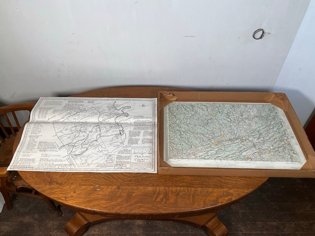
#236 • Army Map Service 1962 Bluefield Raised Relief Topographic Map
Part of FAR 777 - The Splendor of Yesteryear: Fine Antiques, Art & Historic Treasures (timed auction by Farmer Auctions)
Starting at $10.00
Status: Available
Bidding closes Dec 2, 2026 7:30 PM EST
Two regional maps consisting of one 1962 Army Map Service raised relief molded plastic topographical map titled "Eastern United States 1:250,000 Bluefield" (Series V501P, Sheet NJ 17-8, Edition 1-AMS), and one paper Bicentennial "Settlement Map of Pulaski County Virginia 1776–1976" illustrated by Lloyd Matthews detailing historical land tracts, early settlers, and Civil War military engagements. Two maps. Items in background not included. Pulaski County 31" W x 23.5" H. Bluefield 31" W x 20.5" H Location-Library